Environmental Remote Sensing Laboratory LTE
Environmental Remote Sensing Laboratory
Precipitation is a key process for the water cycle and the climate system. A major feature of precipitation is its strong variability in space and time over a significant range of scales, due to atmospheric turbulence and cloud microphysics. At higher altitudes and/or latitudes, snowfall constitutes a significant part of precipitation because of the lower temperatures. In complex terrain, this variability is amplified by the complex interactions between the atmospheric dynamics, the microphysical processes controlling clouds and precipitation and the rugged topography.
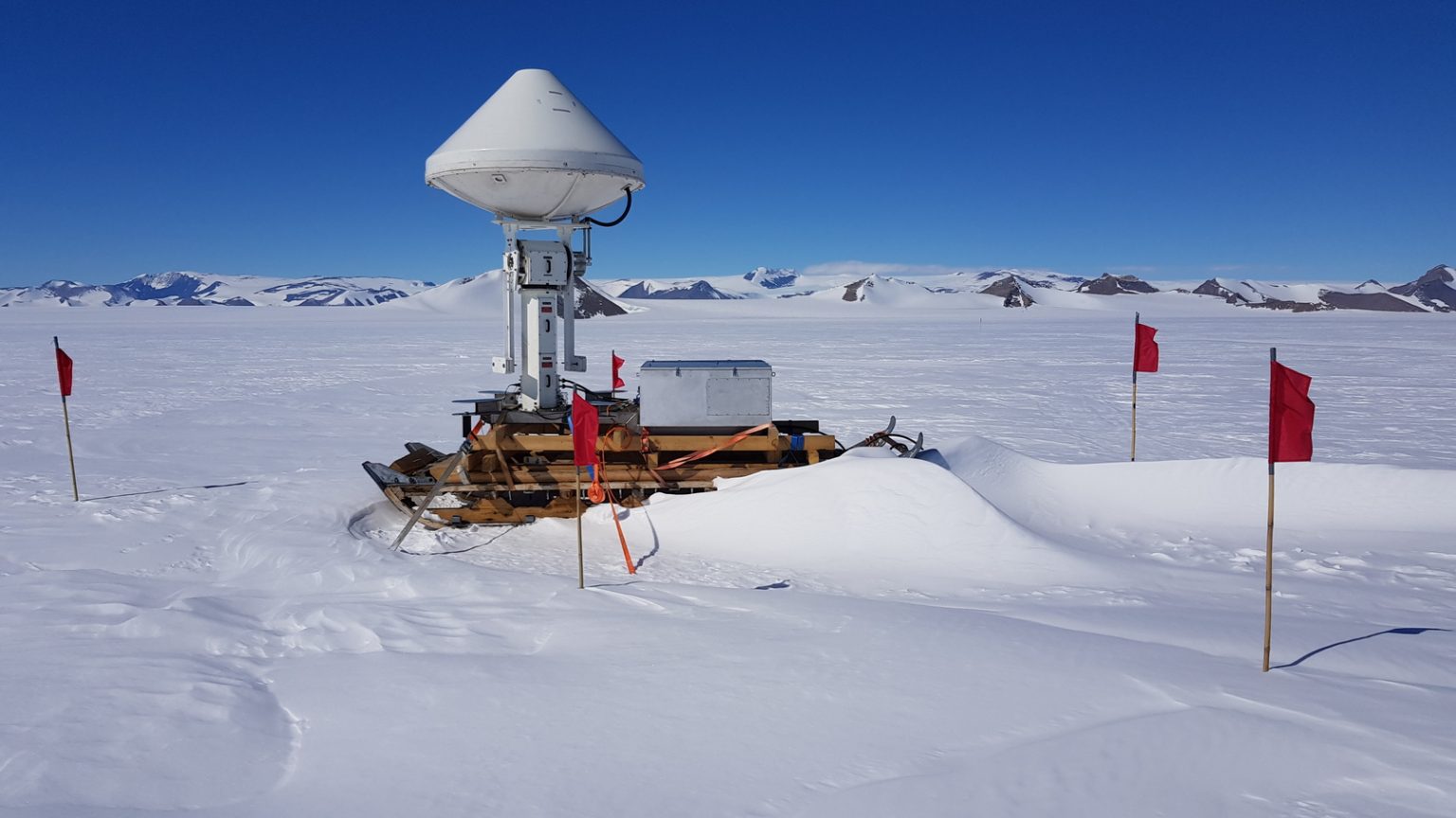
Accurate and reliable quantification of precipitation, and in particular solid precipation, remains an open challenge that has major consequences on water resources, on natural hazards forecasting, and on the assessment of the effects of climate change. The main research objective of LTE is to further our understanding of the microphysical processes contributing to the space-time dynamics of precipitation at local scales in mountainous and polar regions, highly sensitive to climate change. To do so, we combine field activities based on ground-based (multi-frequency spectral) radar remote sensing in these extreme environments, case studies as well as statistical analyses of the collected data, and numerical modeling.
LTE has a long standing close collaboration with MeteoSwiss, in particular the Satellite and Remote Sensing Group in Locarno, to investigate scientific questions related to precipitation and weather radars with direct impact for the Swiss society.

Congratulations to Valentin Simeonov, recipient of the 2024 ICLAS Order of Merit “For scientific and technical contributions and service to train early-stage lidar scientists”!
A Sunny skiing day all together in the Alps
