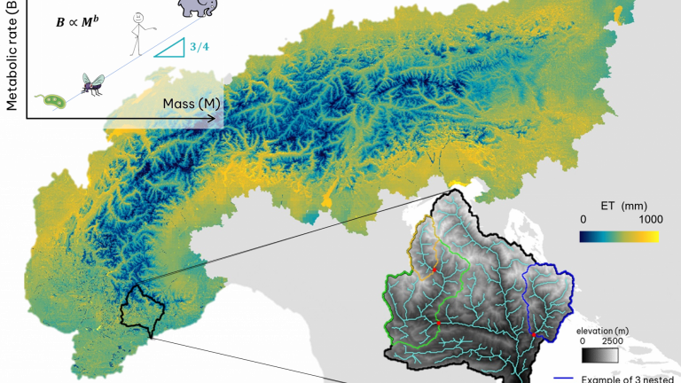
Our research focuses on the quantitative description of catchment processes and their complex interactions with climate and land use.
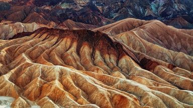
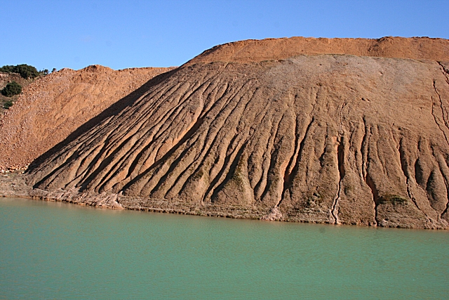
Landscape Evolution and Soil Erosion
Describing the space-time evolution of drainage basins

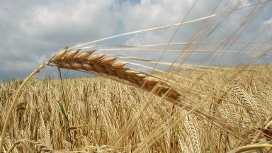
Ecohydrological Modeling
Modeling soil-plant-atmosphere processes at different spatial and temporal scales
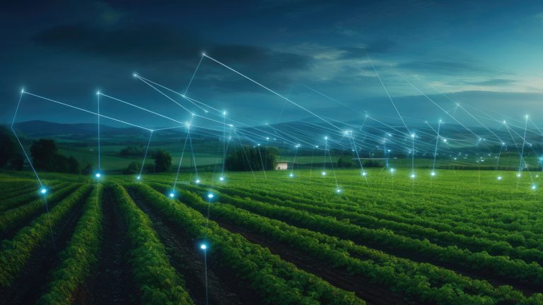
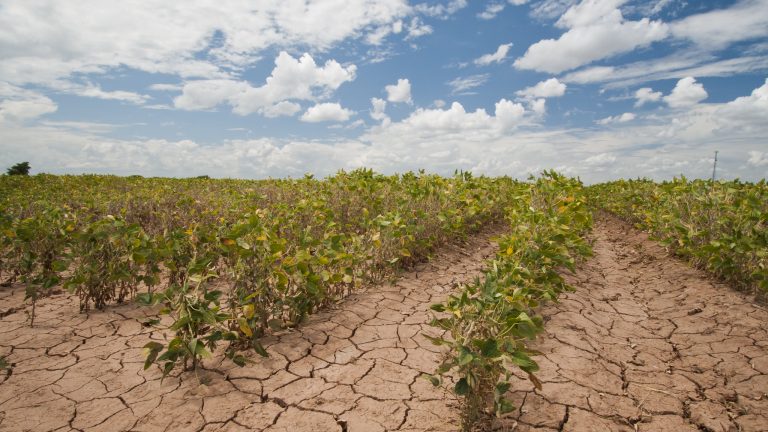
Impacts of land use on water and soil resources
Sustainability assessment of agricultural land use
Projects


Equipment
With photogrammetry/RGB/thermal/multispectral mapping cameras
With photogrammetry/LiDAR
More info coming soon…