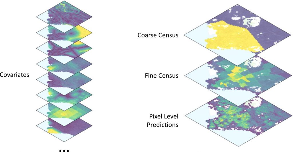
Population maps are very important in several domains, like public health, urban planning and humanitarian projects. While fine-grained population maps are available in developed countries, the population data in several developing countries are outdated and coarse (only aggregate census counts of very large areas are available). Fine-grained population maps are particularly useful for NGOs to perform humanitarian actions, however this information has limited quality and availability in the regions where these institutions provide aid. In this project, we aim to create fine-grained population maps for developing countries, using weakly supervised machine learning methods that use the available coarse census data and open geodata.
Partners
- International Committee of the Red Cross, Geneva
- ETH Zurich, Photogrammetry and remote sensing group
- Qatar Computing Research Institute
Funding
Science and technology for humanitarian action challenges grants (HAC)
