Position 68°51′S 90°35′W
Even though we had decided to skip Peter I Island our track led us very close to the island and the weather was just supreme. It would have been a pity not to make this stop. So we deviated slightly from the course to spend half a day at the island. When passing the now very thin sea ice belt, we could see how productive the area was. Under the ice floats there were green and brown patches, indicating the presence of algae and phytoplankton.
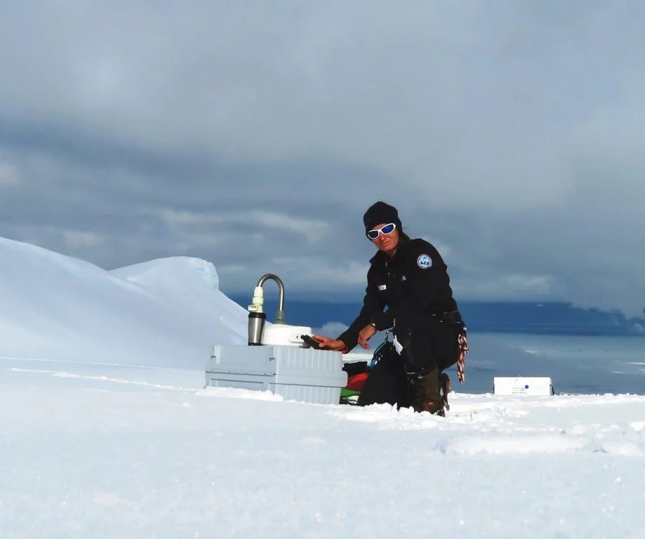
The ship was positioned five miles off the wild coast of the island in perfect position for us to sample ambient air. While the instruments were running and recorded yet again less than 100 p/cc we set off to the islands with the helicopters. The short time did not allow for a reconnaissance flight, so we circled the island several times before finding a suitable landing spot. All glaciers were heavily crevassed and steep. We were lucky to spot a plateau that seemed save. Doing some soundings in the immediate vicinity of the landing site and then later with the ground penetrating radar gave us green light to start working. By now we had established a good routine between the radar, drilling and air sampling activities. We had to be quick though as the weather started deteriorating and after three hours on the island we were close to a white out. Some minutes later and the helicopters would not have been able to pick us up due to the low visibility. In fact, when the first pilot came, he misjudged the height of the ground and disappeared for a while below us in the fog. Luckily he realized and came back up again to land where we had prepared a landing spot for him.

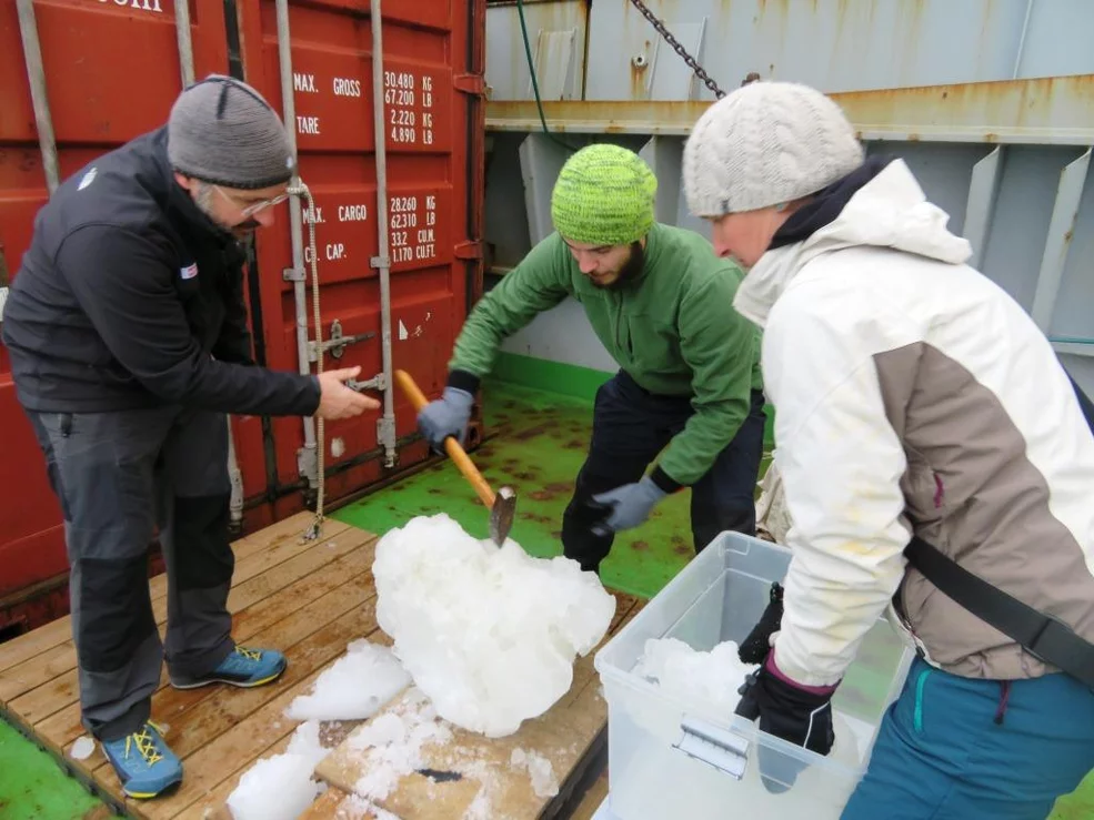
Before leaving the area, we took advantage of collecting some sea ice with the zodiacs for educational purposes. While the storm started to build up around the island, the sea was still flat and calm.
