Position 66°55′S, 163°45′E
Work on the ship has been very busy while being near the Mertz Glacier. And there was hardly time to take it a bit easier before getting to the Balleny Islands. These four volcanic islands, Young, Buckle, Sturge and Borodaile, and one prominent Rock, Sabrina, are located almost exactly on the polar circle and are therefore exposed to the Westerlies and the Easterlies that occur near the Antarctic coast. This has not only implications for the local weather, which is loosely speaking mostly nasty, but also for the ecosystem which makes the island group a perfect spot to study a variety of aspects.

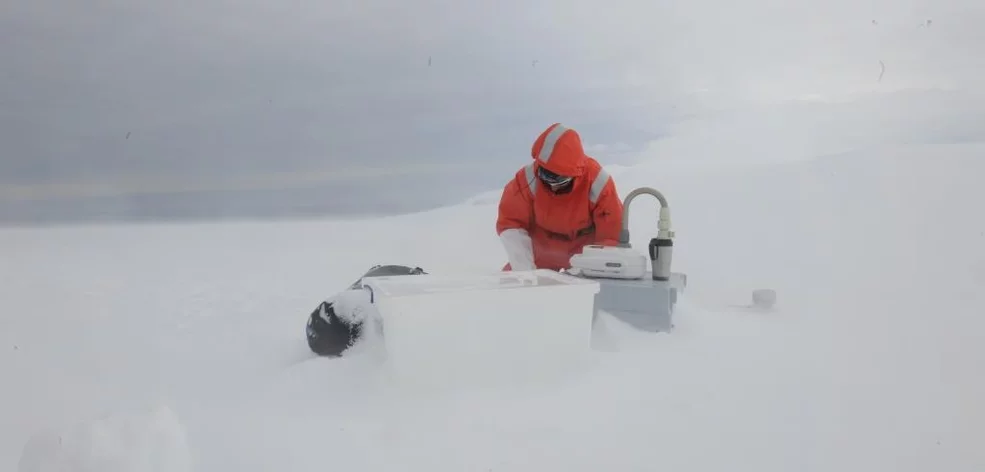
On the schedule was trawling, ice coring, sampling of invertebrates and micro-plastics as well as air sampling. Most of such work has never been realized before in the area, due to the remoteness and weather conditions. The islands were discovered in 1839 under captain Balleny and named after the sponsors of the expedition. Since then only few expeditions were able to report more details on the islands which meant for us that the most accurate description stemmed from a paper published several decades ago. Practically that meant that we had to send out the helicopters and zodiaks to make reconnaissance trips. It became clear very soon that there are no appropriate beaches to do terrestrial work on plants, animals or micro-plastics. For the air sampling of bacteria and the ice-coring, we found a spot without crevasses on the Young island glacier that was save enough to work on.
The weather was, mildly speaking, terrible. The helicopter left us in an ever raging snow storm on the island. The visibility was down to a couple of meters and we had only five hours to get everything done, but we were successful. Next to all air and snow samples, 20 meters of ice core were extracted.
In terms of aerosol characteristics, we were able to measure East Antarctic background conditions and observed a very persistent particle mode around 100 nm. The high wind speeds we experienced on the island were confined to higher altitudes, so that the sea was rather calm and almost no sea salt around resulting in a total particle number concentration of less than 150 p/cc over days. Despite the presence of the islands, the sea around them was not very productive in terms of phytoplankton abundance. The islands are pure rock covered with glaciers and apparently only very few nutrients are released from the terrestrial environment to the ocean. So no particles related to DMS emissions were observed.
The second day around the islands, the weather improved significantly, clouds were gone, and the expedition leadership decided to conduct a photographic aerial survey of the islands to create a digital elevation model and to provide future expeditions with many details of the geography of the area. The images and videos were displayed for us during lunch time with stunning views of wild coastlines and avalanches rolling into the sea.
