Environmental Remote Sensing Laboratory LTE

Environmental Remote Sensing Laboratory
Water resources of many countries all over the world solely depend on the amount of water stored in mountains. Being the only source, precipitation determines water input in mountainous regions. These regions have been showed to be very sensitive to climate change. Precipitation is a key process for the water cycle and the climate system. A major feature of precipitation is its strong variability in space and time over a significant range of scales, due to atmospheric turbulence and cloud microphysics. In a mountainous environment, this variability is amplified by the complex interactions between the atmospheric dynamics, the microphysical processes controlling precipitation and the rugged topography. In addition, snowfall constitutes a significant part of precipitation because of the lower temperatures at higher altitudes.
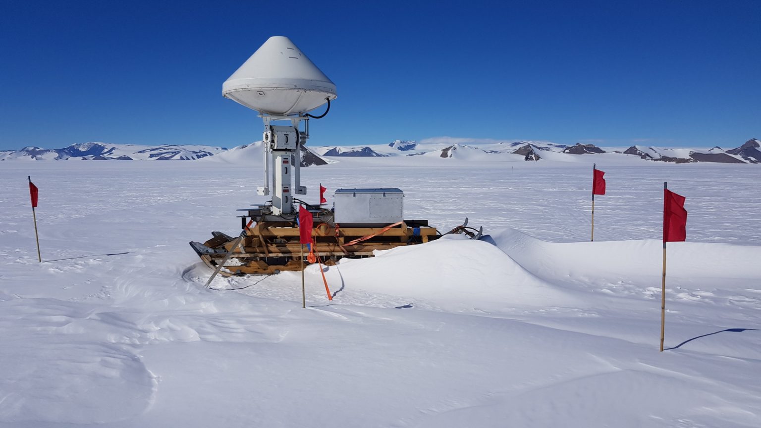
Accurate and reliable quantification of precipitation, and in particular solid precipation, in mountainous regions remains an open challenge that has major consequences on water resources, on natural hazards forecasting, and on the assessment of the effects of climate change in these highly sensitive regions. The main research objective of LTE is to further our understanding of the space-time dynamics of precipitation at local scales in alpine regions. To do so, we combine an experimental approach based on an X-band polarimetric radar system, on a network of disdrometers and on telecommunication microwave links, with a theoretical approach based on stochastic modelling to quantify the associated uncertainties.


