The TOPO lab excels in various research competencies, exercised in numerous past and ongoing projects in three general research directions.

Position and attitude determination
Position and attitude determination of moving platforms or subjects is the main-stream of the lab research activity. The laboratory expertise in algorithm development for real-time or post-mission positioning have been applied to vehicle and pedestrian navigation and trajectography. We make use of satellite based (GPS, Glonass) positioning, inertial sensors, magnetic sensors, imagery and lately the networked based positioning via Ultra-wide band or 802.x technology.

Mapping and remote sensing
Sensor integration and close-range remote sensing competences served in development of task specific or general mobile mapping systems. Geodesy, surveying and cartography are the traditional proficiencies present in the laboratory. High precision surveying by satellite or terrestrial observations as well as network design and adjustment remains the valuable expertise that is regularly made available for consultation or research-mandates.
Other Links
Projects
Current Projects
Vehicle Dynamic Model Based Navigation

Past Projects
PEACE for UAV (Planning & Estimating Accuracy in a Cluttered Environment for UAV
This project enables precise mapping of elongated structures in inaccessible natural environment with small drones. Its implementation represents considerable savings for monitoring and management of man-made infrastructure and its protection in complex surroundings. The progress is possible through combination of state-of-the-art flying platform with advanced planning, on-line quality control of aerial vehicle position and accuracy prediction of 3D reconstruction
Real Time Quality Assessment for Airborne Lidar Mapping
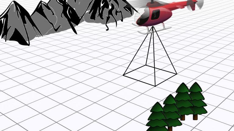
The objective of this project is to put into production a small, flexible and accurate airborne mapping system that integrates laser scanner, digital imagery and navigation sensors. Unique in its size and precision it can be embarked onto a helicopter within few minutes and can provide autonomous surface mapping of an area of interest with a high precision (0.2m) and resolution (<1m²), shortly after the flying mission. Its application span from natural hazards to corridors mapping.