Category: ENAC-IT4Research
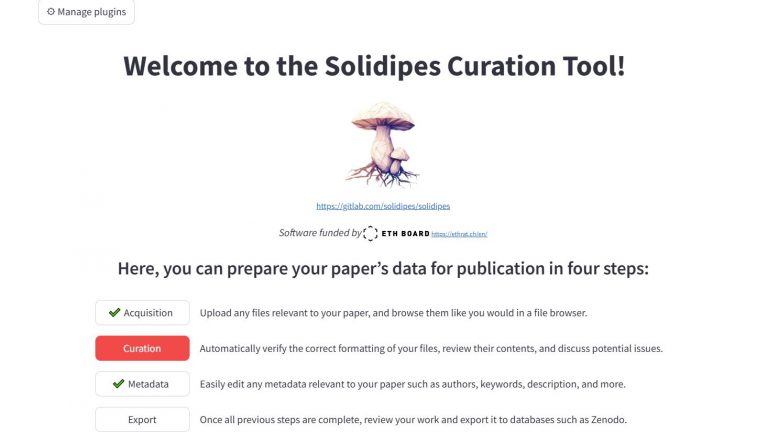
Solidipes curation platform
Armillaria solidipes is the specie of the largest living organism on Earth, a fungus forming an underground network spanning 9.1 km². Solidipes is a Python package designed to support scientists throughout the entire lifecycle of their research data: acquisition, curation, publication, and sharing. Solidipes can be deployed as a web platform, providing an intuitive interface for visualizing (…)
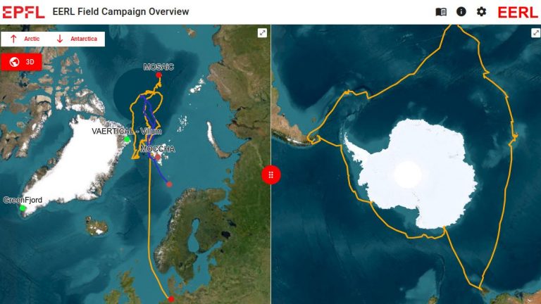
Polar Field Campaigns Map
The Polar Field Campaigns website is an interactive 2D/3D map of the Arctic and Antarctica that highlights locations where field observations were conducted, either at fixed stations or along icebreaker ship routes. It provides details on the types of measurements taken and makes the corresponding campaign data, available in open-access repositories like Zenodo and PANGAEA, (…)
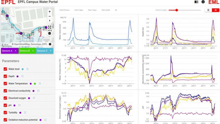
EPFL Water Portal
This website serves as an online visualization platform for water infiltration data measured on EPFL’s campus along the Sorge River. It highlights the initiative within the Urban Twin Project and promotes action to reduce runoff on campus. Sensors placed along the Sorge River collect various measurements, including water temperature, depth, electrical conductivity, dissolved oxygen, and (…)
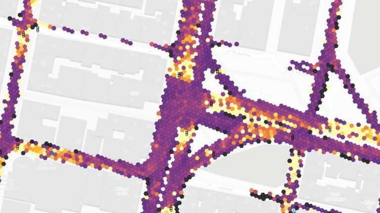
Urban Traffic Data Visualization (w/ Efficient Big Data Processing)
Introduction to pNEUMA The pNEUMA Visualization Project, an initiative from EPFL’s Laboratory of Urban Transport Systems (LUTS), leverages advanced drone technology to capture and analyze urban traffic patterns in Athens. This project stands out for its focus on transforming extensive traffic data into accessible and actionable insights through a refined data processing pipeline. Objective and (…)

Monash Flood Portal
Floods are one of the most common natural disasters globally, mainly caused by atmospheric conditions that lead to heavy rainfall, rapid snowmelt, or storm surge. When the surface runoff exceeds the capacity of the drainage network and surface water cannot enter the sewerage system, the drainage network overflows, resulting in overland flow, which marks (…)
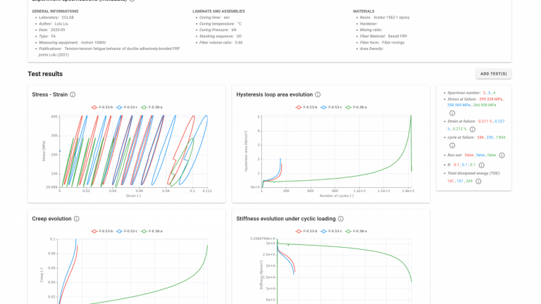
CCFatigue Data Platform
Composite materials fatigue database and life prediction – open research platform The CCFatigue platform offers a standardized and interoperable database for sharing, accessing and analyzing material testing datasets. It is composed of(1) A database, with composite material fatigue and fracture test data and(2) A suite of calculation modules allowing users to experiment with their own (…)
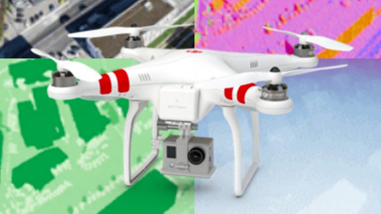
Visual Navigation Machine Learning Competition
No GPS, no problem ! Today drones and other aerial autonomous systems for navigation and control depend heavily on the robustness of GNSS reception for their position estimation. The objective of this competition is to ask users around the world to contribute to TOPO’s research by building and training a model that can be used (…)
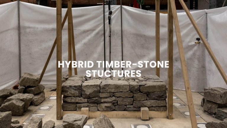
Hybrid Timber-stone Structures fabrication
Traditional hybrid stone-timber structures are part of an ancient craftsmanship heritage which is labor-intensive and requires qualified workers. Nevertheless, these dry and glue-free construction systems using locally available materials have all the qualities defined today as sustainable: reuse of mineral waste, low embodied energy, low embodied water content, demountable, cement-free; and moreover earthquake-resistant. Therefore, the (…)
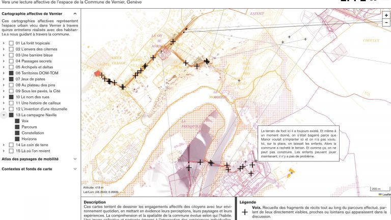
Affective mapping in Geneva
This project, a collaboration between ALICE (Atelier de la Conception de l’Espace) and LASIG (Laboratory of Geographic Information Systems), will address climate change from the perspective of landscape infrastructure as a nature-based solution capable of linking urban connectivity, active mobility and psychophysical health and wellbeing. Urban landscape has a key infrastructural role, supporting and making possible different practices and behaviors, and can thus be instrumentalized to (…)
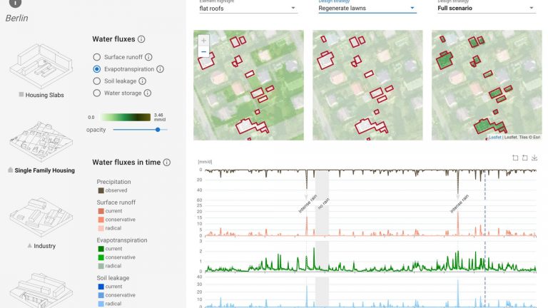
Visualizing Urban Water Cycle
Knowledge of how to articulate the “urban transition” is today urgently needed. Urbanization is on a steadily growing trend that impacts the water cycle as a whole. However, while the effects of urbanised/urbanising areas on water quantity (how much water) have been well studied for flood prevention, other effects –as those related to water quality (which water)– are mostly unknown. (…)