Category: Recherche
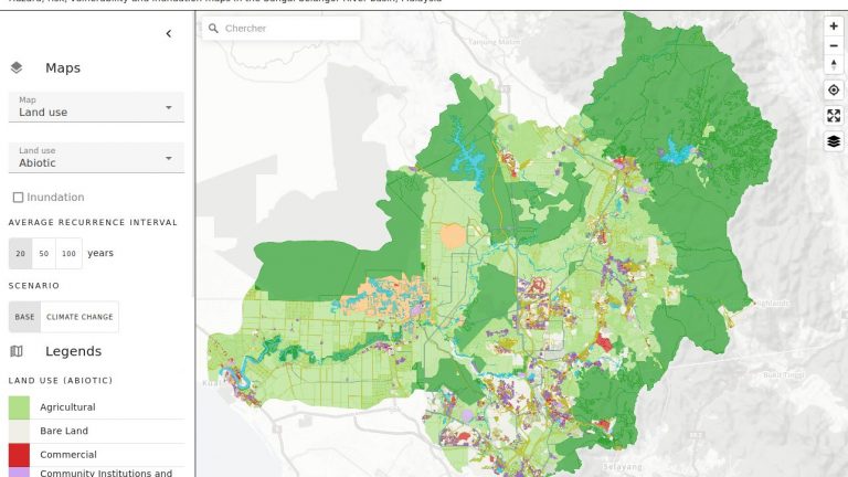
Monash Flood Portal
Floods are one of the most common natural disasters globally, mainly caused by atmospheric conditions that lead to heavy rainfall, rapid snowmelt, or storm surge. When the surface runoff exceeds the capacity of the drainage network and surface water cannot enter the sewerage system, the drainage network overflows, resulting in overland flow, which marks the (…)
Visual Navigation Machine Learning Competition
No GPS, no problem ! Today drones and other aerial autonomous systems for navigation and control depend heavily on the robustness of GNSS reception for their position estimation. The objective of this competition is to ask users around the world to contribute to TOPO’s research by building and training a model that can be used (…)
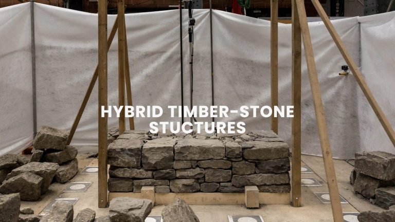
Hybrid Timber-stone Structures fabrication
Traditional hybrid stone-timber structures are part of an ancient craftsmanship heritage which is labor-intensive and requires qualified workers. Nevertheless, these dry and glue-free construction systems using locally available materials have all the qualities defined today as sustainable: reuse of mineral waste, low embodied energy, low embodied water content, demountable, cement-free; and moreover earthquake-resistant. Therefore, the (…)
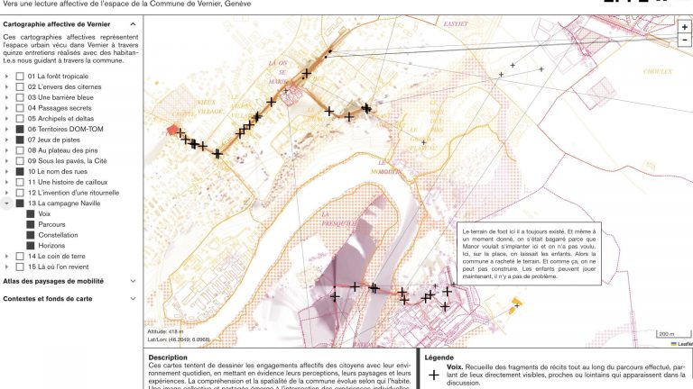
Affective mapping in Geneva
This project, a collaboration between ALICE (Atelier de la Conception de l’Espace) and LASIG (Laboratory of Geographic Information Systems), will address climate change from the perspective of landscape infrastructure as a nature-based solution capable of linking urban connectivity, active mobility and psychophysical health and wellbeing. Urban landscape has a key infrastructural role, supporting and making possible different practices and behaviors, and can thus be instrumentalized to (…)
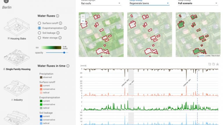
Visualizing Urban Water Cycle
Knowledge of how to articulate the “urban transition” is today urgently needed. Urbanization is on a steadily growing trend that impacts the water cycle as a whole. However, while the effects of urbanised/urbanising areas on water quantity (how much water) have been well studied for flood prevention, other effects –as those related to water quality (which water)– are mostly unknown. (…)
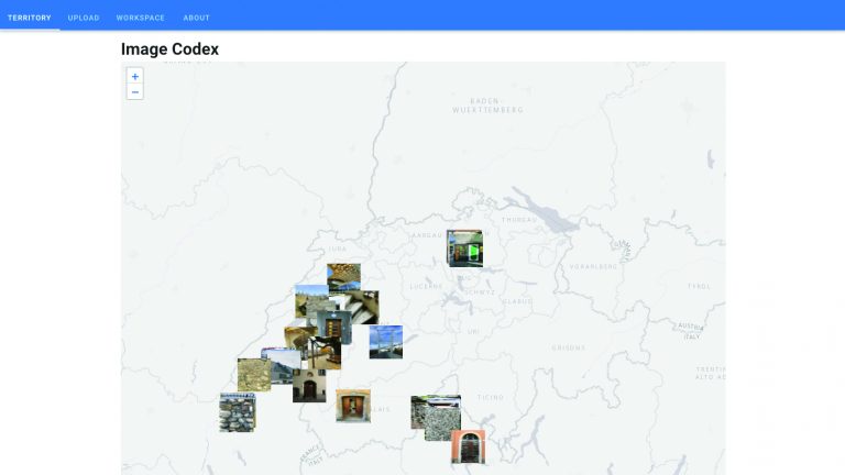
Image tagging tool for Architects
LaboratoryLaboratory of Elementary Architecture and Studies of Types (EAST) ENAC-IT4Research contributionsDevelopment of an image tagging tool and catalog for architects, including a custom image tagging scheme and composition functionalities. TechnologiesVueJS, Leaflet, Cloudinary (Images DB)
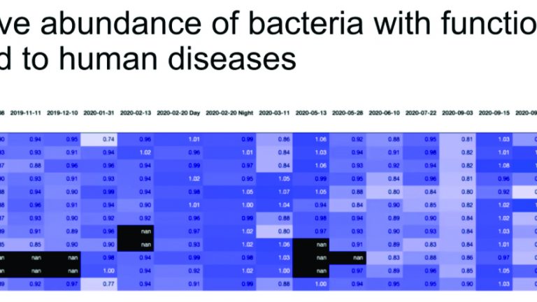
Bacterial data exploration and analysis
LaboratoryEnvironmental Chemistry Laboratory (LCE) ENAC-IT4Research contributionExploratory data (analysis, data harmonization, data visualization plotting trends etc), key statistics. TechnologyPython
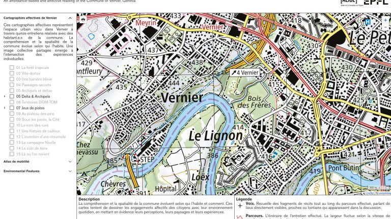
Interdisicplinary spatial data management & computation pipelines
LaboratoriesDesign Studio on the Conception of Space (ALICE) / Geographic Information Systems Laboratory (LASIG) ENAC-IT4Research contributionsSet up tailored Research data management pipelines (shared storage, data organization schemes, collaborative code repository) and support with spatial data processing pipelines (developing and optimizing batch processes, and data acquisition pipelines). TechnologiesPython, GDAL
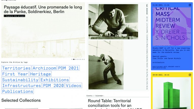
”Living Archives” integration
UnitsInstitute of Architecture and the City (IA) / Architecture Section (SAR) ENAC-IT4Research contributionsAccompanying external development + integration on EPFL infrastructure.
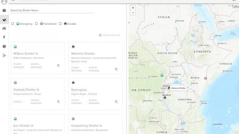
UNHCR Sustainability Web Tools
In the context of ongoing work with UNHCR Geneva Technical Hub, EssentialTech, FAR and BPE aim to develop web application building on various data sources (mostly Excel sheets and web source) and user inputs, to improve sustainability practices, through GHG emmissions estimates, shelter sustainability scores and improved energy planning in refugee camps. The overaching project (…)